
Fortæl dine venner om denne vare:
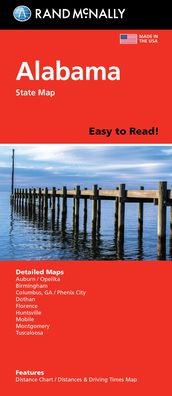
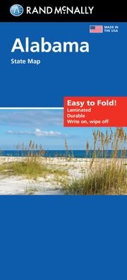
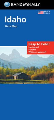
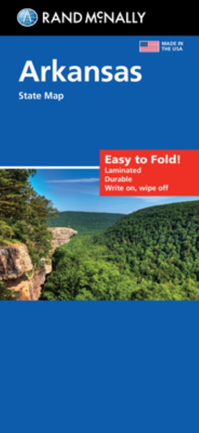
Rand McNally Easy to Read Folded Map: Alabama State Map
Rand Mcnally
Bestilles fra fjernlager

Rand McNally Easy to Read Folded Map: Alabama State Map
Rand Mcnally
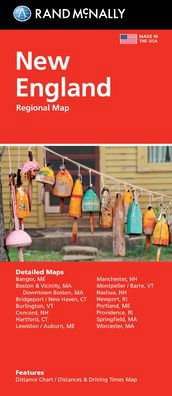
Rand McNally's Easy To Read State Folded Map is a must-have for anyone traveling in and around Alabama, offering unbeatable accuracy and reliability at a great price. Our trusted cartography shows all Interstate, U. S., state, and county highways, along with clearly indicated parks, points of interest, airports, county boundaries, and streets. The easy-to-use legend and detailed index make for quick and easy location of destinations. You'll see why Rand McNally folded maps have been the trusted standard for years. - Regularly updated, full-color maps. - 68% larger map with a bigger type size than the Rand McNally Folded Map. - Clearly labeled Interstate, U. S., state, and county highways. - Indications of parks, points of interest, airports, county boundaries, and more. - Mileage and driving times map. - Detailed index. - Convenient folded size. Coverage Area Detailed maps of: Auburn/Opelika, Birmingham, Dothan, Florence, Huntsville, Mobile, Montgomery, Phenix City/Columbus, GA, Tuscaloosa. Product Details: Dimensions (unfolded): 28 x 40.
| Medie | Bøger Paperback Bog (Bog med blødt omslag og limet ryg) |
| Udgivet | 14. marts 2022 |
| ISBN13 | 9780528025662 |
| Forlag | RAND MCNALLY |
| Mål | 250 g (Estimeret vægt) |
| Sprog | Engelsk |
Mere med Rand Mcnally


Andre har også købt
![Cover for Preben Hansen · Turen Går Til: Turen går til Californien & Vestlige USA (Hæftet bog) [5. udgave] (2021)](https://imusic.b-cdn.net/images/item/original/578/9788740063578.jpg?preben-hansen-2021-turen-gaar-til-turen-gaar-til-californien-vestlige-usa-haeftet-bog&class=scaled&v=1623395637)
![Cover for Theis Ørntoft · Digte 2014 (Hæftet bog) [1. udgave] (2014)](https://imusic.b-cdn.net/images/item/original/007/9788702158007.jpg?theis-oerntoft-2014-digte-2014-haeftet-bog&class=scaled&v=1395436941)
![Cover for J. K. Rowling · Harry Potter: Harry Potter 5 - Harry Potter og Fønixordenen (Indbundet Bog) [5. udgave] (2015)](https://imusic.b-cdn.net/images/item/original/260/9788702173260.jpg?j-k-rowling-2015-harry-potter-harry-potter-5-harry-potter-og-foenixordenen-indbundet-bog&class=scaled&v=1441302688)
![Cover for Maria Helleberg · Thy-serien: Søstrene fra Thy (Paperback Bog) [2. udgave] (2022)](https://imusic.b-cdn.net/images/item/original/124/9788702361124.jpg?maria-helleberg-2022-thy-serien-soestrene-fra-thy-paperback-bog&class=scaled&v=1649258403)


![Cover for Kent Haruf · Plainsong - Plainsong (Paperback Bog) [Main Market Ed. edition] (2013)](https://imusic.b-cdn.net/images/item/original/440/9781447240440.jpg?kent-haruf-2013-plainsong-plainsong-paperback-bog&class=scaled&v=1393866782)
![Cover for Disney · Carl Barks & Don Rosa Bind IV (Hardcover bog) [1. udgave] (2021)](https://imusic.b-cdn.net/images/item/original/539/9788793840539.jpg?disney-2021-carl-barks-don-rosa-bind-iv-hardcover-bog&class=scaled&v=1629385760)
Se alt med Rand Mcnally ( f.eks. Paperback Bog , Kort , Hardcover bog , Bog og Spiralbog )